Wildfire Prophet
Project Overview
In response to the escalating global threat of wildfires, our project seeks to provide a cutting-edge solution for insurance companies. Leveraging the power of computer vision, machine learning, and high-resolution satellite imagery, our Minimum Viable Product (MVP) offers accurate wildfire detection, improved underwriting processes, and enhanced client protection. When users interact with our platform, they gain access to geolocation data, satellite imagery, and real-time fire probability details, enabling insurance companies to make informed decisions and proactively manage and reduce wildfire-related risks. By revolutionizing wildfire detection, our mission is to empower insurance companies to more accurately assess and price fire insurance, ultimately reducing financial losses, safeguarding clients, and contributing to greater community resilience in this growing global challenge.
Problem Statement
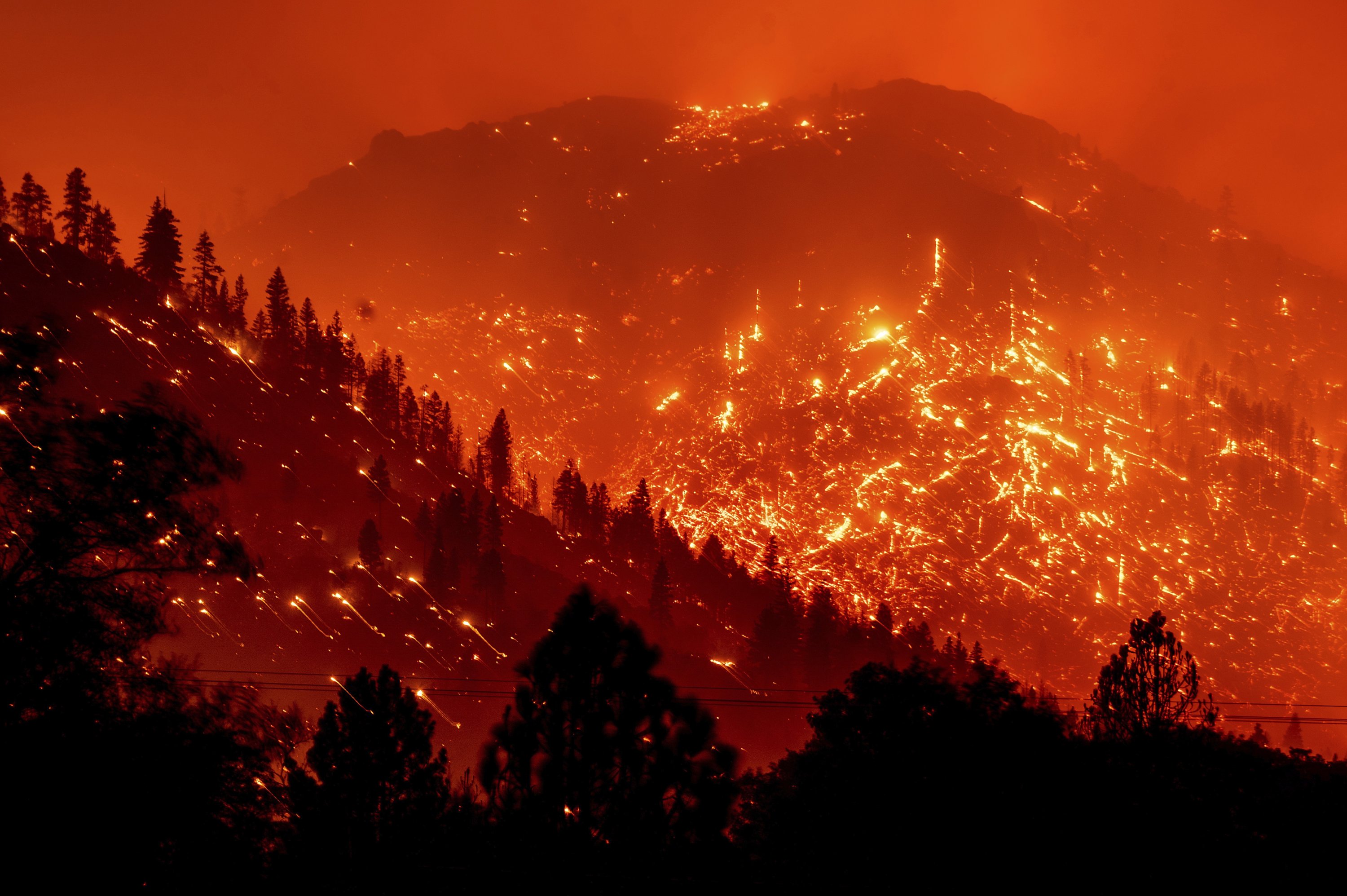
The increasing frequency and severity of wildfires globally present a pressing concern, as evidenced by rising fire-related deaths and extensive property damage. This has led to a surge in insurance claims for property damage and losses, potentially causing significant financial strain on insurance companies. To address this issue, there is a critical need to maximize the utility of high-resolution satellite imaging data for more effective wildfire detection and response, ultimately mitigating the devastating impact of wildfires on human lives and property while safeguarding the financial stability of insurance providers.
Approach
Satellite imagery serves as a valuable resource for assessing land cover, vegetation, and the identification of potential fire-prone areas. Utilizing techniques like image segmentation, object detection, and image classification, we can pinpoint fire-related risks, including dry vegetation, shifts in vegetation health, and the presence of smoke plumes. Additionally, we harness the power of pre-trained models such as VGG and ResNet to augment the image features. Techniques like PCA and t-SNE assist in dimensional analysis and reduction. At the same time, the application of Convolutional Neural Networks (CNNs) proves highly effective in automatically learning and extracting features from satellite images, enabling us to uncover fire-related patterns and anomalies. Finally, the development of real-time monitoring systems is pivotal, as they continuously analyze incoming satellite data, ensuring timely alerts and early warnings of wildfire events, thus facilitating swift response efforts.
With our research question being, "How generalizable is our model at predicting wildfires?", we used multiple models:
- Canada model predicting Canada wildfires
- Canada model predicting US wildfires
- Canada model predicting Northern US States’ wildfires
- US model predicting Canada wildfires
- US model predicting US wildfires
- US model predicting Northern US States’ wildfires
- Hybrid model predicting US and Canada wildfires
Following an assessment of the performance, we examined the subsequent models to determine their potential as superior predictors:
- US model (trained on only large wildfires) predicting Canada wildfires
- US model (trained on only large wildfires) predicting US wildfires
- US model (with urban locations filtered out) predicting Canada wildfires
- US model (with urban locations filtered out) predicting US wildfires
- US model (with urban locations filtered out) predicting Canada wildfires (with urban locations filtered out)
- US model (with urban locations filtered out) predicting US wildfires (with urban locations filtered out)